Click Below
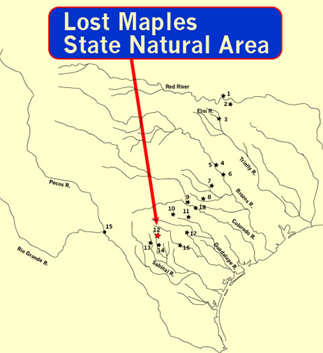
Taking US 290W from Johnson City, you’ll pass through the famous little towns of Vanderpool and Utopia. Lost Maples State Natural Area is just a short way down the road.
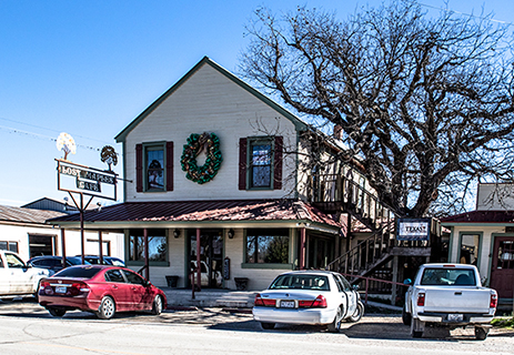
A stop in Utopia at the Lost Maples Café is a must to fill your picnic basket for a day on the Sabinal River at Lost Maples SNA. Burgers and Pies are their specialties—We vouch for the apple!
Trails follow the clear spring-fed streams that feed the Sabinal River and join the Frio as they flow towards the Balcones Escarpment. The trails were frequently used by Native Americans and identified by the Spanish as the Comanche Trail. It was named Arroyo de la Soledad—Spanish for Stream of Solitude.
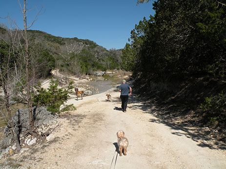
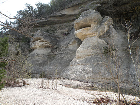
The upper Sabinal is rugged with bluffs and rock shelters that were no doubt used by Paleoindian hunters as temporary protection from the weather and predators.
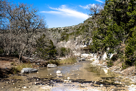
The river flows gently through the mountain hollows—
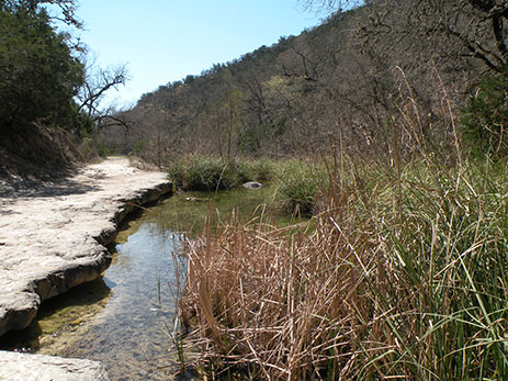
—spreading out into pools at the lower levels of the bends.
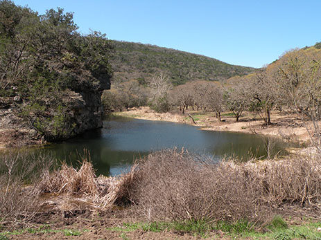
The trails lead to pack-in, primitive campsites.
Monkey Rock gives evidence to frequent flash flooding and high water through the millennia.
For Additional Information
Click on the link below